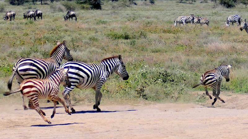
Die Serengeti und ihre Maps
Nach einer herzhaften Hühnerbrühe im Olaado Camp brechen wir auf in die Serengeti. Begleite uns an der Seite unseres Guides Elly, wenn sich der Weg durch scheinbar grenzenloses Land schlingert und erfahre, wie Felsformationen wie der „Pancake“ als geheime Landkarten dienen, während Raubtiere wie Hyänen als Bewohner einsamer Savannen-Inseln auf Beute warten.
Die Serengeti und ihre Maps
Die letzten Tage der Safari waren angebrochen. Morgens gab es im Olaado Camp noch extra für uns eine herzhafte Hühnerbrühe mit Einlage. Gut gestärkt konnten wir nun auf unsere letzten Tage in die Serengeti gehen. Am südlichen Tor ging es rein in die Serengeti. Wir hatten echt gar keine Vorstellung von diesem südlichen Gebiet. Verbinden wir doch nur die vielen Dokumentarfilme über die Serengeti von Prof. Grzimek mit unserer Vorstellung. Elly fuhr also mit uns durch das südliche Tor. Eben noch im Ndutu Gebiet und jetzt die Serengeti.
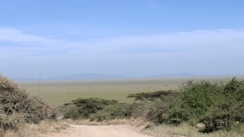
Weite bis zum Horizont
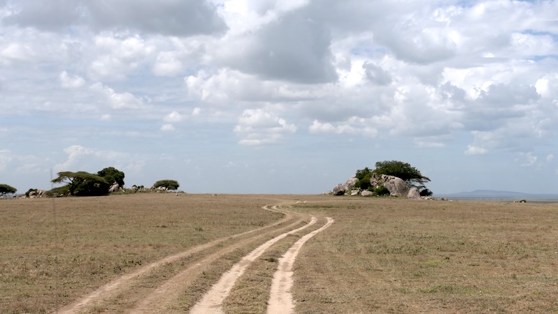
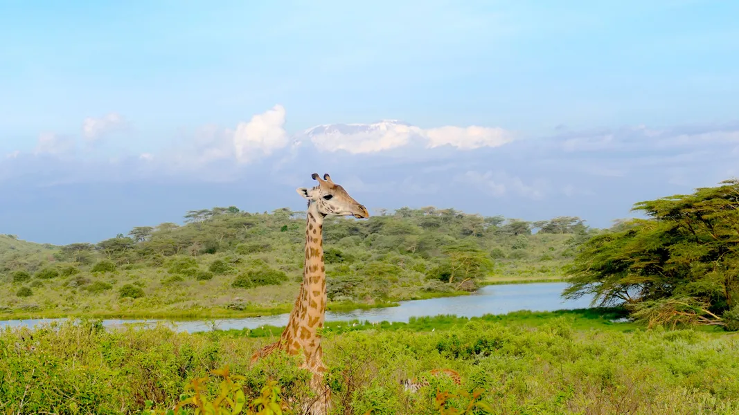
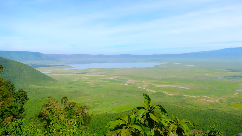
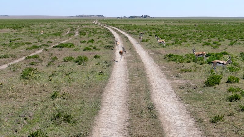
Eben noch viel Grün, Sträucher, der Ndutu Lake und jetzt …. jetzt nur Weite.
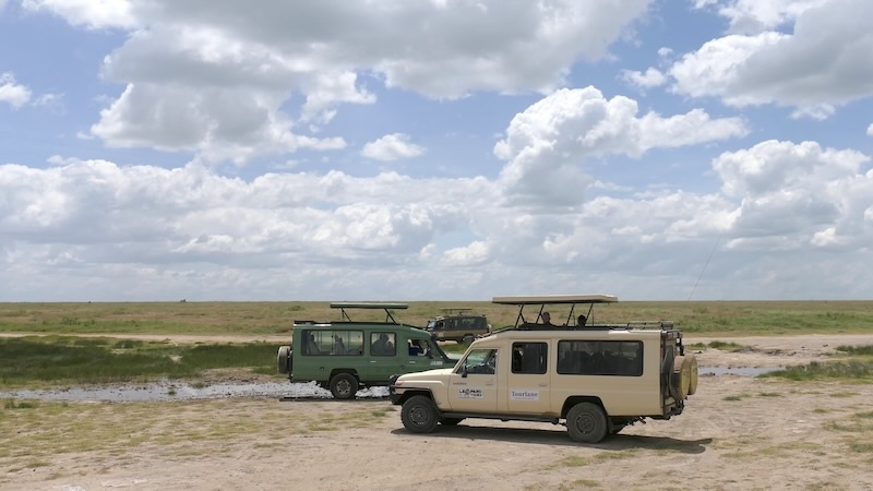
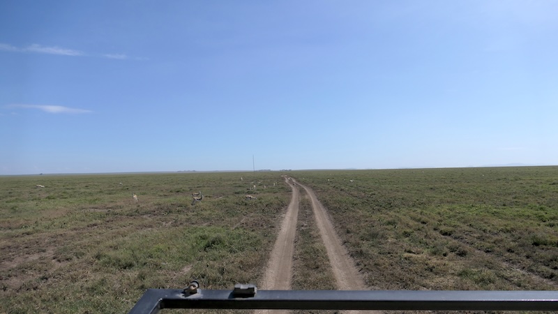
Eine endlose Weite bis zum Horizont!
Die Savanne, die grau-grünen und braunen Töne. Der Himmel, blau schimmernd mit seinen weißen Wolken.
Alles und wirklich alles endlos, endlos bis zum Horizont.
Wohin? Links, rechts, gerade aus? Eine schier endlose Weite.
Vorher am Gate hatte Elly natürlich noch erst alle Formalitäten erledigt und während er bei den Rangern stand wurde er von einem anderen Guide angesprochen. „Sag mal, Elly, kennst Du Dich hier gut aus? Kann ich hinter Dir herfahren. Ich habe echt keine Ahnung, wo es hier längs geht“. Klar, man hilft sich hier und dann ging es im Konvoy los.
Elly erzählte uns, das es auch für ihn damals echt schwer war, dieses Gebiet mit seinen Wegen und Felsen zu erlernen. In den anderen Nationalparks ist es echt einfacher. Dort gibt es so viele Anhaltspunkte, an denen man sich orientieren kann und man lernt schnell und kann sich dann auch nicht mehr verfahren. Das ist hier in der Serengeti anders.
Die Referenz-Map – Pancake & Co
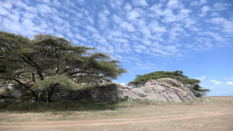
Die Serengeti hat keine einfache Referenz-Map.
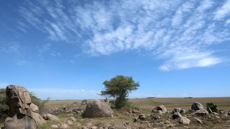
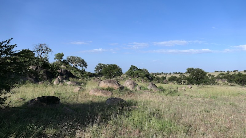
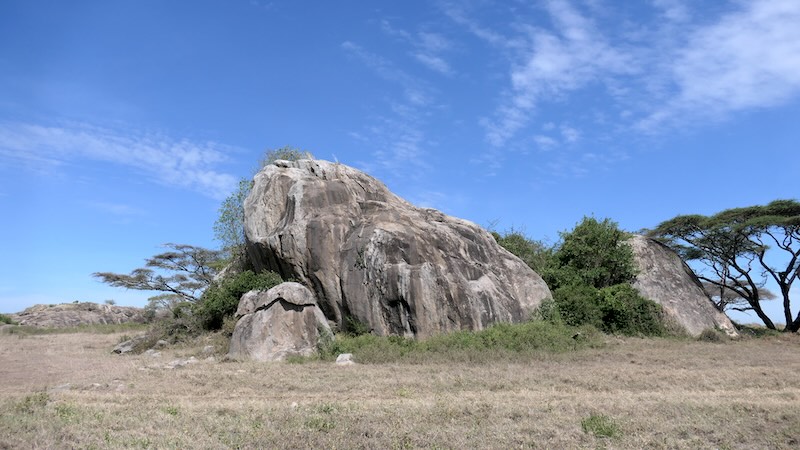
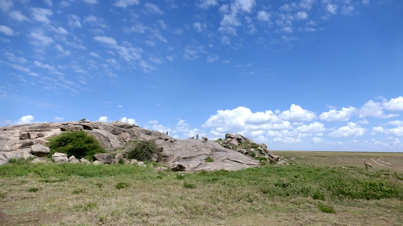
Es gibt hier nur die Weite und einige Felsformationen, die sich dazu auch noch sehr ähneln. Also an welchem Felsen nun nach links, rechts oder gerade aus? Es hatte lange gedauert bis er die Felsformationen unterscheiden konnte. Bei jeder neuen Tour hier in der Serengeti kartografierte er sich das Gebiet immer mehr. „Diese Felsformation, das ist der Pancake. Wenn ich den Pancake passiert habe dann fahre immer links weiter“.
Ok, beim Pancake nach links – was auch sonst!
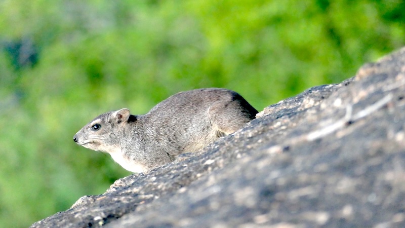
Die vielen Zebra- und Gnu-Herden waren schon vor zwei Wochen hier vorbei gezogen und so sahen wir auf den ersten Blick nur die Weite und sonst nichts. Die Serengeti erschien uns auf den ersten Blick nun leer. Aber weit gefehlt! Die vielen unterschiedlichen Raubtiere gab es hier trotzdem. Denn Raubtiere wandern nicht sondern bleiben in ihren eigenen Territorien. So konnten wir bereits an den ersten Felsformationen viele Hyänen beobachten. Jede Felsformation kam uns wie eine kleine Insel vor, wie eine Insel im großen Ozean. Und auf vieler dieser Felsformationen eine Gruppe von Hyänen. Eine Gruppe von Hyänen, die auf ein Mittagessen warten. Wie ein Robinson Crusoe in der Serengeti.